Sunday's fire weather forecast not as dire as Saturday, but 'we're not out of the woods yet'
Under the area’s first-ever “particularly dangerous ” weather warning Saturday, winds peaked at 44 mph, driving three separate blazes that sparked in and around Spokane.
Winds began to pick up late in the morning, as measured from the National Weather Service station at Spokane International Airport, said meteorologist Joey Clevenger.
Just before noon, gusts started to reach 30 mph, Clevenger said, increasing to the peak gust at 4:30 p.m. Sustained winds hovered between 20 and 30 mph and began slowing by 8 p.m., Clevenger said. They were expected to continue to slow overnight.
Relative humidity was around 20%, Clevenger said, which is about typical for this time of year. The incoming cold front should bring with it more humidity, he said.
The “particularly dangerous situation” red flag warning expired at 8 p.m. Saturday. The overall red flag warning was scheduled to expire at 11 p.m. Saturday.
Sunday’s forecast has slower winds and milder temperatures, Clevenger said, so there’s still some concern for fire weather, but “less touch and go” than Saturday’s conditions. Wind gusts are forecast to peak at 20 mph, Clevenger said, which isn’t high enough to issue a red flag warning, he said, but residents should still be wary.
“Take advice from emergency managers, the evacuation areas,” Clevenger said. “Still use caution tomorrow; we’re not out of the woods yet.”
Local journalism is essential.
Give directly to The Spokesman-Review's Northwest Passages community forums series -- which helps to offset the costs of several reporter and editor positions at the newspaper -- by using the easy options below. Gifts processed in this system are tax deductible.
-
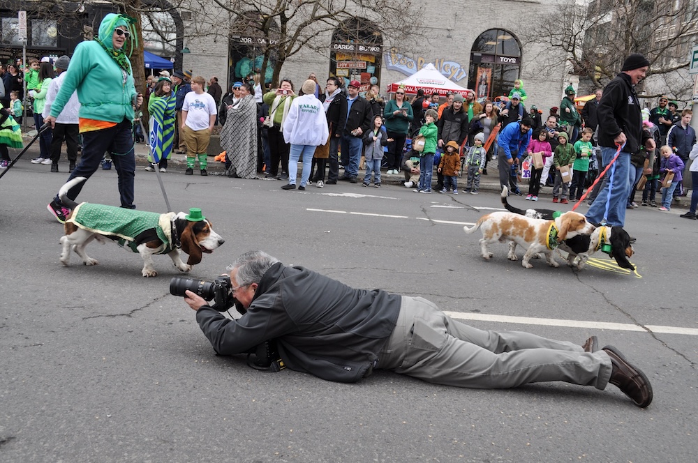
Meet Jesse Tinsley. As a certified drone pilot, this veteran Spokesman-Review photographer often can be seen capturing beautiful aerial photographs of our region. Sometimes though, the job requires getting down with the dogs.
-

Jim Meehan is no stranger to Zag Nation. As the lead writer covering the Gonzaga men’s basketball team, he tells the stories behind the game and gets fans a bit closer to their favorite players.
-

There is no artist in Spokane like Molly Quinn. Her whimsical style is instantly recognizable to readers of The Spokesman-Review. She has painted gorgeous illustrations that instantly elevate the journalism accompanying it. She brings to life the stories that defy photography. She makes our pages better.
-

Spokesman-Review editor Rob Curley loves to talk with people and learn about their lives, whether it's a best-selling author or a stranger he meets downtown on his walk to lunch. It's that inquisitive nature combined with a playful sense of storytelling that helps make our newspaper different than most.